Oslo Neighbourhoods: Which Part of the City Fits Your Trip
Oslo splits into a small, walkable centre and a ring of very different neighbourhoods. Knowing which is which saves a visitor half a day of aimless walking.
Short answer
Oslo's core areas divide into four groups: the compact Sentrum around Karl Johans gate, the east side (Grünerløkka, Tøyen and Grünerløkka's food scene), the west side (Frogner, Majorstuen) with Vigeland Park, and the waterfront from Aker Brygge to Tjuvholmen. Bygdøy, the museum peninsula, sits across the water. A 24-hour Oslo Pass at 580 NOK covers the transport between them and most museums.
Oslo is a small capital wearing a big coat. Roughly 700,000 people live here, yet the parts a visitor actually needs fit inside a triangle you can cross on foot in under an hour: the Sentrum grid between the Central Station and the City Hall, the Akerselva river valley to the east, and the Frogner plateau to the west. Everything beyond that, the museum peninsula of Bygdøy, the forest edge of Nordmarka, the Oslofjord islands, behaves like a separate excursion rather than a neighborhood.
The mistake most first-time visitors make is treating the city as one blob. It is not. The east and west sides of Oslo are different worlds with different prices, different architecture and different histories, divided by the Akerselva river, and the things you came to see sit in specific pockets of each. This guide walks through the Oslo neighbourhoods one by one, in the order a trip planner would actually use them, and finishes with how to move between them cheaply.
Which Areas of Oslo Should a First-time Visitor Actually See?
Five areas carry almost everything a first visit needs: Sentrum for the Opera House, Karl Johans gate and the Royal Palace; Grünerløkka for cafés, street art and the river; Frogner for Vigeland Park, which is free and open around the clock; Aker Brygge and Tjuvholmen for the waterfront, restaurants and the Astrup Fearnley museum; and Bygdøy for the Kon-Tiki, Fram and cultural-history museums. Tøyen is worth adding for the MUNCH museum and the Botanical Garden.
That list sounds like a lot, but the geometry is forgiving. Sentrum, Grünerløkka and Frogner all touch each other, and the waterfront sits between Sentrum and Frogner along the inner fjord. A visitor based anywhere in that triangle reaches every one of them on foot or a short tram ride, with only Bygdøy requiring a deliberate ferry or bus trip across the water.
The order matters less than the pairing. Bygdøy is a half-day on its own, and the museums there close in the late afternoon, so it belongs early in the day. Grünerløkka and the waterfront come alive in the evening, which makes them the natural second half of any day. Frogner's sculpture park is open 24 hours and costs nothing, so it is the flexible filler that fits any gap in an itinerary.
The one thing to plan around is closure. The Museum of the Viking Age on Bygdøy has been shut since 2021 and will reopen as the Museum of the Viking Age in 2027, so the peninsula is a Kon-Tiki, Fram, Folkemuseum and Maritime Museum trip for now. Viking-age objects are meanwhile displayed at the Historical Museum in central Oslo, which pulls a piece of Bygdøy back into the centre.
| Area | Character | Anchor sights | Best for |
|---|---|---|---|
| Sentrum | Compact historic grid | Opera House, Karl Johans gate, Cathedral, City Hall | First orientation, hotels |
| Grünerløkka | Old workers' quarter, now the trendiest district | Mathallen, street art, Akerselva river path | Cafés, food, nightlife |
| Frogner | Leafly west-side residential plateau | Vigeland Park, Vigeland Museum | Free sightseeing, architecture walks |
| Aker Brygge / Tjuvholmen | Redeveloped harbourfront | Astrup Fearnley, Sørenga seawater pool | Waterfront dining, swimming |
| Bygdøy | Museum peninsula, mostly green | Kon-Tiki, Fram, Norsk Folkemuseum, beaches | Half-day museum trip |
| Tøyen | East-side culture and greenery | MUNCH, Botanical Garden | Art, museums, student-priced eating |
How Do the Oslo Neighbourhoods Fit Together on the Map?
Oslo's centre is a grid that slopes west from the Central Station toward the Royal Palace, with the Akerselva river cutting north on the east side and the fjord closing the south. Grünerløkka sits across the river from Sentrum, Tøyen a little further east and north, Frogner and Majorstuen rise to the west, and Aker Brygge and Tjuvholmen line the shore. Bygdøy faces the city across the inner fjord.
The single most useful mental model is the river. The Akerselva runs from the Maridalsvannet lake in the north down through Grünerløkka and pours into the fjord beside the Opera House. Everything east of it is the old east side, where workers' housing, industry and immigration shaped streets that are now the city's most interesting. Everything west is the old west side, built for the merchant and civil-servant class, with wider streets, grander blocks and the embassies around Frogner.
Karl Johans gate is the spine that ties the west side to the station. It runs from the Central Station up past the Cathedral, the Parliament, the National Theatre and the University to the Royal Palace, and every address a visitor needs is within a few blocks of it. The street is a public room more than a shopping street, the stage for the 17 May children's parade and the everyday route between Sentrum and the palace park.
The waterfront is the newest layer. Aker Brygge replaced shipyards with restaurants and apartments, Tjuvholmen extended the shoreline further west with the Astrup Fearnley museum at its tip, and the Barcode strip of towers now separates Sentrum from the Opera House quarter. This is where Oslo presents its modern face, and it is all connected by a promenade you can walk end to end in well under an hour.
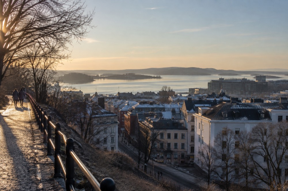
Geography does one more favor: the hills. The city rises steadily westward toward Frogner and then Holmenkollen, so a walk from east to west is a walk uphill. It is gentle, but it explains why the metro Line 1 climbing to Holmenkollen and Frognerseteren is such a relief at the end of a long day, and why the view from the west side down over the fjord is the classic postcard shot.
What Is the Best Neighbourhood to Stay in Oslo?
For a first visit of two to four days, Sentrum or the waterfront around Aker Brygge is the most practical base, putting the Opera House, the palace and the ferry piers within walking distance. Grünerløkka suits visitors who want cafés and nightlife over proximity to the sights. Frogner and Majorstuen offer quieter, often cheaper rooms with fast tram links. Tøyen is the budget option near MUNCH and the Botanical Garden.
The trade-off in Oslo is location against atmosphere rather than price, because accommodation costs stay high in every district. Sentrum hotels sit on top of the transport hub, which matters in a city whose airport train, regional trains and metro all converge at Oslo S. The where to stay in Oslo guide breaks the hotel options down district by district, including the major openings that have changed the central supply in the past year.
Grünerløkka's accommodation stock is smaller and more independent, guesthouses and apartments rather than chains, and the district rewards anyone whose priorities are morning coffee, record shops and dinner within a five-minute stroll. The east-side position also means the MUNCH museum and the Tøyen museums are close neighbors rather than cross-city trips. The trade-off is that the Opera House and the palace become a longer walk or a tram ride.
Frogner and Majorstuen, west of the palace, are the sleep-and-commute choice. Streets are quiet, the architecture is the city's most handsome, and trams along Bogstadveien reach the National Theatre in minutes. It is also the natural base for anyone whose day plan centers on Vigeland Park, which sits inside the neighborhood and costs nothing to enter, or on day trips that start from the westbound metro.
One warning that applies across every district: book early for summer and for the weekends around 17 May. The national holiday fills the entire city center with parade spectators, hotels price accordingly, and the streets around Karl Johans gate close to traffic. That is a spectacle worth seeing, but not one to arrange accommodation around at the last minute.
Grünerløkka and Tøyen: What Is on the East Side of the River?
Grünerløkka is Oslo's trendiest neighbourhood, a grid of 19th-century workers' blocks filled with cafés, bars, vintage shops and the Mathallen food hall, strung along the Akerselva river path. Tøyen, a short walk or metro stop further east, holds MUNCH, the Botanical Garden and the cheap end of the city's eating. Together they are the east side's reason to leave the centre, and the contrast with Frogner is the whole point.
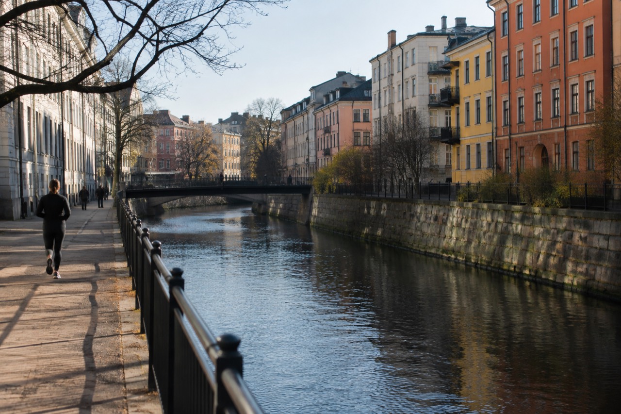
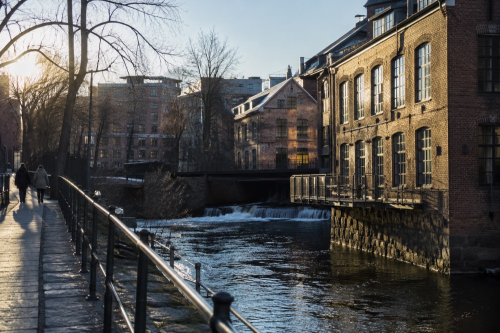
The district was built for the workers of the riverside mills and factories, and its blocks are low, dense and colorful, the exact opposite of the west side's stone apartment palaces. That industrial past survives in the river itself, which runs through a chain of waterfalls, old factory buildings and parkland that makes the walk from Grünerløkka to the Opera House one of the best urban walks in the city. The river path is public, free and continuous.
Mathallen, the food hall in the old Vulkan factory complex, anchors the north end of the district, and the surrounding Vulkan area carries the breweries, bakeries and climbing walls that give the quarter its weekend pull. The Mathallen food hall deserves its own planning stop, both for the food and because the building complex around it is the clearest example of how Oslo reuses its industrial past.
Tøyen is the quieter, less polished neighbor. The Botanical Garden and the MUNCH museum make it a half-day in itself, and the surrounding streets hold some of the cheapest eating in the city thanks to the student population. MUNCH's adult admission is 280 NOK, dropping to 200 NOK after 18:00 and 100 NOK for under-25s, with children 17 and under free, which makes an evening visit the obvious value move for younger travelers.
What the east side does not offer is the fjord. Both districts face inland, and the waterfront is a deliberate walk or tram ride away. That inland focus is also why Grünerløkka earns its reputation in the evenings: the bar and restaurant density here is the highest in the city, and it is where Oslo's own residents go out, which is the only endorsement that counts.
A guided food walk is the shortcut into the district's eating culture, and there is exactly one strong product covering it.
Frogner and Majorstuen: What Is on the West Side?
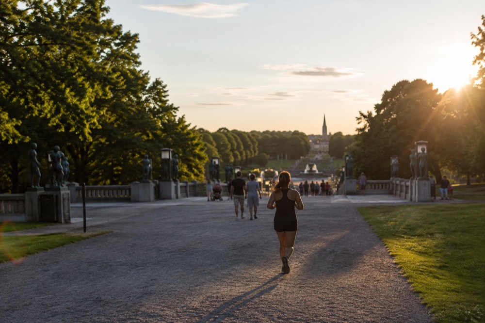
Frogner is the west side's showcase, a leafy district of grand early-20th-century apartment blocks whose centerpiece is Vigeland Park, the free, always-open sculpture park that is Oslo's most visited sight. Majorstuen sits beside it as the west side's shopping and transport hub. Together they form the calm, expensive counterweight to Grünerløkka, and the walk from the city centre up through it is one of the city's best architecture routes.
Vigeland Park is the fact to lead with because it inverts every expectation about Oslo prices: entry is free, the park is open 24 hours a day, all year, and it holds over 200 sculptures by Gustav Vigeland. The separate Vigeland Museum, in the same complex, is paid at 120 NOK, and keeping the two apart matters in every sentence because visitors routinely confuse them. The Vigeland Park guide covers the sculptures and the museum in detail.
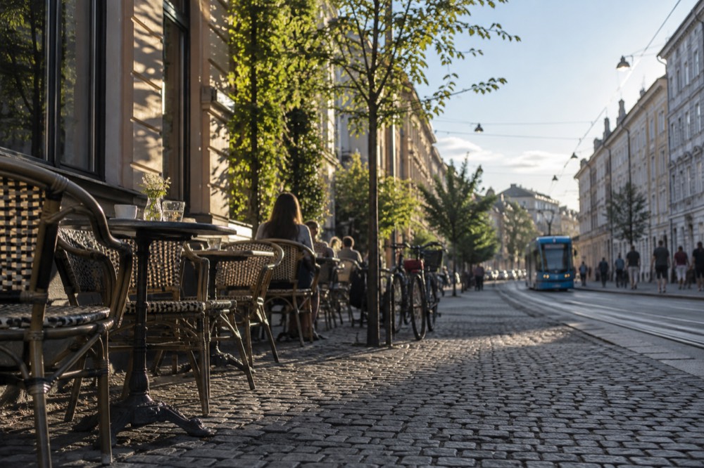
Around the park, Frogner's streets are the part of Oslo that looks most like a European capital of the early 1900s. Stone facades, turrets, bay windows and courtyards, with embassies and antique shops occupying the ground floors. Nothing here needs a ticket, it is a walking neighborhood pure and simple, and the farther uphill you go, the more the views open back over the city. The wider set of guides lives on Oslo Travel Guide. The wider set of guides lives on Oslo Travel Guide.
Majorstuen is the practical heart of the west side: the junction where the trams, the metro and the shopping street Bogstadveien meet. It is the transfer point for anyone heading to Holmenkollen or Frognerseteren on metro Line 1, and its café density makes it a sensible rest stop between the palace and the park. From Majorstuen the climb toward Holmenkollen begins, and the ski jump tower and its museum sit at the top of that line.
The west side's cost profile matches its housing: restaurants and cafés here lean expensive, and alcohol is where Oslo's prices bite hardest anywhere in the city. Statistics Norway's 2025 price-level survey puts alcohol and tobacco in Norway at more than double the European average, so a west-side bar evening should be a deliberate choice rather than an accident of geography.
Aker Brygge, Tjuvholmen and the Waterfront: Where Does Oslo Meet the Fjord?
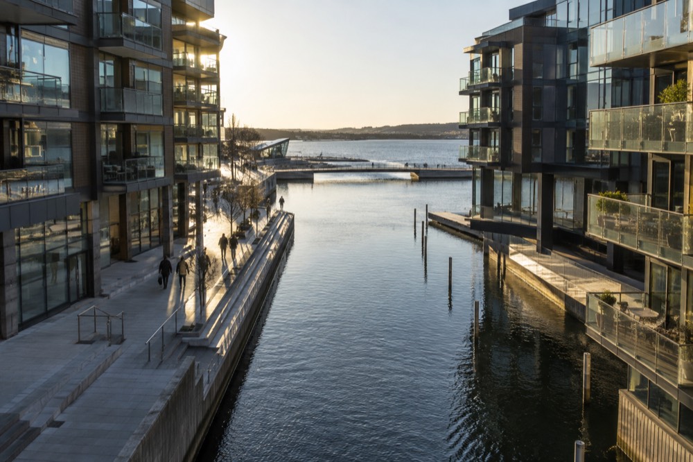
Aker Brygge and Tjuvholmen are the redeveloped harbourfront districts where Oslo faces the fjord, holding the city's densest restaurant strip, the Astrup Fearnley contemporary art museum, the Sørenga seawater pool and the piers for the Bygdøy ferry and the island ferries. This is the district for waterfront dining, summer swimming and the modern architecture Oslo is now known for.
Aker Brygge was the shipyard district until the 1980s, and the brick halls and gantries gave way to the city's most popular outdoor seating. The restaurant terraces here face directly across the inner harbor, and in summer the district behaves like one long lunch. Prices match the view, which makes the food hall and market options a few blocks inland the sensible everyday alternative, covered in the cheap eats guide.
Tjuvholmen continues the shoreline west, all glass and narrow canals, with the Astrup Fearnley museum at its tip. Adult admission there is 180 NOK, with under-20s free, which makes it one of the more family-friendly museum tickets in the city. The district's swimming spot and sauna culture cluster at the water's edge, and the Sørenga seawater pool sits a short walk further east past the Opera House, free and public.
The waterfront is also the city's transport deck, and the two ferry systems matter here because they leave from different places and obey different ticket rules. The Bygdøy museum ferry departs Rådhusbrygge 3, runs seasonally, and is included with the Oslo Pass but not with ordinary Ruter tickets. The island ferries B1 and B2 leave from the Aker Brygge side and are ordinary Ruter services covered by any normal ticket. Mixing up the two piers is the single most common waterfront mistake.
For a different rhythm, the fjord itself is a sightseeing product: the Oslofjord cruise options depart from this same stretch of shore, from silent electric boats to a traditional wooden sailing ship, and the islands they serve are covered in the island-hopping guide.
| Waterfront pier | Serves | Ticket | Season |
|---|---|---|---|
| Rådhusbrygge 3 | Bygdøy museums ferry (Dronningen, Bygdøynes) | Oslo Pass or own fare, Ruter tickets not valid | 14 March to 4 October 2026 |
| Aker Brygge piers | Island ferries B1, B1X, B2 | Ordinary Ruter ticket or Oslo Pass | B1 year-round, B2 summer |
| Aker Brygge / Vippetangen | Sightseeing fjord cruises | Operator tickets | Year-round, most departures in summer |
A bike is a genuinely good way to cover the waterfront and the east side in one loop, and the highest-reviewed bike product in the city ties the districts together.
Bygdøy: How Do You Reach the Museum Peninsula?
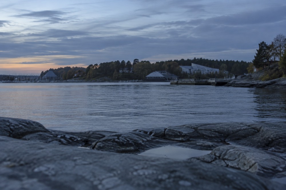
Bygdøy is the green peninsula west of the city centre holding the Kon-Tiki, Fram, Norwegian Maritime and Cultural History museums, plus beaches and royal parkland. In season you reach it on the museum ferry from Rådhusbrygge 3, which the Oslo Pass covers and Ruter tickets do not; the rest of the year, bus 30 runs there on an ordinary ticket. The former Viking Ship Museum remains closed until it reopens as the Museum of the Viking Age in 2027.
The peninsula is less a neighborhood than a destination, and it rewards a full half-day. The ferry lands at Dronningen for the Norwegian Museum of Cultural History, whose open-air collection of historic buildings includes the Gol stave church, and at Bygdøynes for the Kon-Tiki and Fram museums, which sit together with the Maritime Museum in a walkable cluster. The paths between the two piers run through parkland along the shore, and the beaches at Huk and Paradisbukta sit at the peninsula's tip, free and public, with July and August water temperatures typically 15 to 20 °C.
Admissions are moderate and the combination tickets are real value: Kon-Tiki and Fram together at 325 NOK adult against 180 NOK each separately, and the triple combination with the Maritime Museum at 485 NOK. Every one of the Bygdøy museums is covered by the Oslo Pass, which is what makes the pass arithmetic work, three museums alone at full price is 560 NOK against a 580 NOK 24-hour pass that also carries you there and back.
The Bygdøy guide plans the peninsula day in full, and the individual museum guides cover Kon-Tiki and Fram in detail. The one thing to hold firmly in mind when reading older material: the Viking Ship Museum is closed and no bookable product honestly sells entry to it. The Viking Planet in the city centre is the substitute while the new Museum of the Viking Age is being finished, and Viking-age objects are meanwhile visible at the Historical Museum in Sentrum.
Should You Take a Guided Walk to Learn the Neighbourhoods?
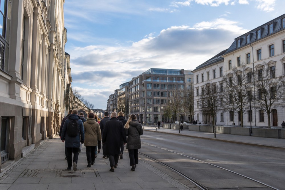
Yes, if your trip is short. A guided walking tour is the fastest way to internalise Oslo's layout, because the east-west divide, the river and the waterfront are easier to understand when someone walks you across them. The budget entry point is a two-hour guided central walk with a local guide, the cheapest credible option in the city; free, tip-based walks cover the same ground for nothing upfront, and private guides are the flexible upgrade.
Two hours with a guide does what a day of solo wandering does not: it names the districts as you cross them. The central walk covers Sentrum's grid and its edges, which is where the orientation problem actually lives, and a local guide answers the questions no map does, which tram goes where, which side of the river is which, where the affordable eating hides. For visitors continuing to free walking tours, the tip-based model is the same idea with the payment at the end and at your discretion.
The guided alternative to walking is the bus. The hop-on hop-off product covers the spread-out sights, palace, Vigeland, museums, in a way walking cannot, and the half-day Holmenkollen and Vigeland combination tour is the only reliable car-free way to reach both in one morning. Those options sit in the sightseeing category rather than the walking one, and the choice between them is really a choice about how much ground you want to cover versus how deeply you want to feel it.
For depth, the themed walks beat the general ones. An evening myths-and-legends walk suits the dark months from October to March, a WWII occupation history walk covers the 1940 to 1945 years the general tours skip, and a small-group capped walk keeps the group size down for visitors who dislike crowds. None of these replace the orientation walk, they deepen it, and the best sequence for a two-day trip is a general walk on day one and a themed one on day two.
| Walk type | Duration | Payment model | Best for |
|---|---|---|---|
| Guided central walk | 2 hours | Fixed price, cheapest credible guided option | First-day orientation |
| Free highlights walk | About 2 hours | Tip based | Budget travelers, flexible plans |
| Small-group walk, max 10 | 3 hours | Fixed price | Visitors who avoid big groups |
| Private walk | 2 to 6 hours | Fixed price | Custom routes, families |
| Evening themed walk | 2 hours | Fixed price | Dark-season evenings, October to March |
How Expensive Is Each Neighbourhood?
Not evenly. Oslo is Europe's sixth most expensive country-level city context, with prices 28.6 percent above the EU average for households and food 33 percent above, but the neighbourhoods spread that unevenly: Grünerløkka and Tøyen hold the affordable eating, Frogner and the waterfront hold the expensive restaurants, and the big sights split surprisingly cheap, since Vigeland Park, the Opera House roof and the islands cost nothing at all.
The honest framing is that Oslo's reputation for expense comes almost entirely from restaurants, bars and taxis, and those costs follow the west side and the waterfront. Alcohol is the extreme case, more than double the European average, and the state Vinmonopolet monopoly is the only shop selling wine and spirits, closed every Sunday and public holiday and closing early on Saturdays. Supermarkets sell only beer and cider up to 4.7 percent ABV, with a mandated evening cut-off. A visitor who buys at the supermarket rather than the bar saves more than any district choice can.
What is not unusually expensive is everything this guide is actually about. Museum admissions cluster between 120 and 280 NOK, public transport is zoned and modest, and the outdoor core of the city, the river path, Vigeland Park, the islands, the forest edge at Sognsvann, is free. The is Oslo expensive page does the full itemised breakdown with the sourced numbers.
District by district, the practical pattern is simple. Eat in Grünerløkka or Tøyen, drink sparingly anywhere, sleep wherever the transport suits you, and put your money into the museums and the fjord, where Oslo genuinely delivers value. The trip cost guide turns that principle into a day-by-day budget.
| District | Eating cost profile | Free anchor | Paid anchor |
|---|---|---|---|
| Grünerløkka | Mid, best value density | Akerselva river path, street art | Mathallen tastings, food walk |
| Tøyen | Low, student pricing | Botanical Garden | MUNCH, 280 NOK daytime |
| Frogner | High, west-side restaurants | Vigeland Park, open 24h | Vigeland Museum, 120 NOK |
| Aker Brygge / Tjuvholmen | High, waterfront premium | Promenade, Opera House roof | Astrup Fearnley, 180 NOK |
| Bygdøy | Museum café pricing | Huk and Paradisbukta beaches | Museum combos from 325 NOK |
| Sentrum | Mid, widest spread | Opera House roof, Cathedral exterior | National Museum ticket |
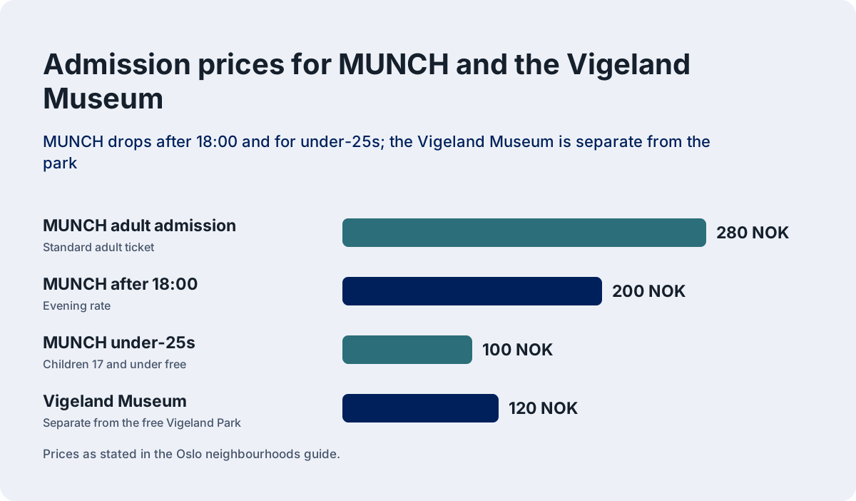
The chart above is the short version of Oslo's cost geography: the east side's flagship museum, MUNCH, and Bygdøy's combination tickets sit in the middle of the range, while the two most visited sights in the city, the sculpture park and the Opera House roof, cost nothing at all. A visitor who plans around the free anchors and pays selectively for the museums can hold daily costs far below the city's headline reputation.
Planning the districts into days is the last step, and the one day in Oslo and 2 days in Oslo itineraries do exactly that, pairing the east side with the centre on day one and the west side with Bygdøy on day two. The pattern scales cleanly to three or four days by adding the islands and the forest edge, both of which sit inside the same transport zones the Oslo Pass already covers.
Common Questions About Oslo Neighbourhoods
Which areas of Oslo should a first-time visitor actually see?
Sentrum, Grünerløkka, Frogner, the Aker Brygge and Tjuvholmen waterfront, and Bygdøy. Add Tøyen if MUNCH and the Botanical Garden appeal. All except Bygdøy touch each other and are walkable; Bygdøy needs a ferry or bus across the water.
What is the best neighbourhood to stay in Oslo?
Sentrum or Aker Brygge for a first visit, Grünerløkka for cafés and nightlife, Frogner or Majorstuen for quiet rooms with fast tram links, Tøyen for the budget option. Accommodation costs stay high in every district, so choose on atmosphere and transport rather than price.
What is on the east side of the river in Oslo?
Grünerløkka, with its cafés, Mathallen food hall and the Akerselva river path, and Tøyen, with MUNCH, the Botanical Garden and the cheapest eating. The east side is the old workers' quarter, and its blocks are low, dense and colorful compared with the west.
How do you reach Bygdøy from the city centre?
In season, the museum ferry from Rådhusbrygge 3, which the Oslo Pass includes but ordinary Ruter tickets do not. The ferry season runs 14 March to 4 October 2026. The rest of the year, Ruter bus 30 serves the peninsula on an ordinary ticket.
Should you take a guided walk to learn the Oslo neighbourhoods?
On a short trip, yes. A two-hour guided central walk with a local is the cheapest credible orientation option, free tip-based walks cover the ground for nothing upfront, and private walks run two to six hours for custom routes. A guide names the districts as you cross them, which is what fixes the layout in memory.
Is the east or west side of Oslo more expensive?
The west side and the waterfront carry the expensive restaurants and bars, while Grünerløkka and Tøyen hold the affordable eating. The difference matters less than the alcohol choice: Norway's alcohol prices run more than double the European average, and wine and spirits are only sold at the state monopoly.