Hiking in Oslo: Trails, Trailheads and Seasons in the Nordic Capital
Oslo is one of very few capitals where a marked forest trail begins where the metro stops. This guide covers the trails, the trailheads, the seasons and the guided options, with real transport and daylight numbers.
Short answer
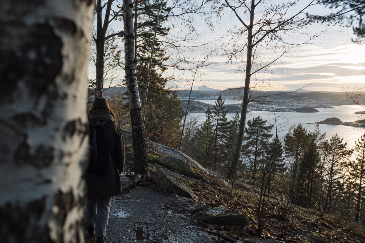
Oslo hiking means Nordmarka, the forested hills that begin at the city's metro termini. The T-bane reaches trailheads like Frognerseteren and Sognsvann in under 40 minutes from the center, trails are free to walk, and the season runs from snowmelt in April to first snow in November, with winter offering snowshoeing and torchlit walks instead.
Oslo is one of the few capitals on earth where the forest is a metro ride away. The city sits at the head of the Oslofjord with the hills of Nordmarka rising directly behind it, and the boundary between the built-up area and the protected forest is a line you can stand on. Take the T-bane west or north and you cross it without ever leaving the fare zone.
That geography shapes everything about hiking here. You do not need a car, a transfer or a day's planning. You need shoes, a water bottle and about half an hour. The trails themselves are free, marked and maintained, and they run from easy lakeside loops to full-day ridge routes with views back over the fjord.
This guide covers what the trails actually are, how to reach them on public transport, what each season does to them, and where a guided hike earns its price. The transport facts, daylight figures and temperatures below come from the operators, MET Norway and the city's own sources.
Where Can You Hike in Oslo Without Leaving the City?
The short answer is Nordmarka, the protected forest that covers the hills north and west of the city, plus the islands of the inner Oslofjord and the river valley of the Akerselva, and all three are reachable on an ordinary public transport ticket. Nordmarka is the big one: a vast area of hills, lakes and marked trails that begins, literally, at the end of several metro lines. The terrain is gentle by Norwegian standards, and the network of waymarked paths is dense enough that you can build routes of almost any length. The Oslofjord islands add coastal walking on Hovedøya, Gressholmen and Langøyene, reached by the public B1 and B2 ferries from Aker brygge. The Akerselva river runs a green corridor from Maridalsvannet down through the middle of the city, a walk you can start at your hotel door.
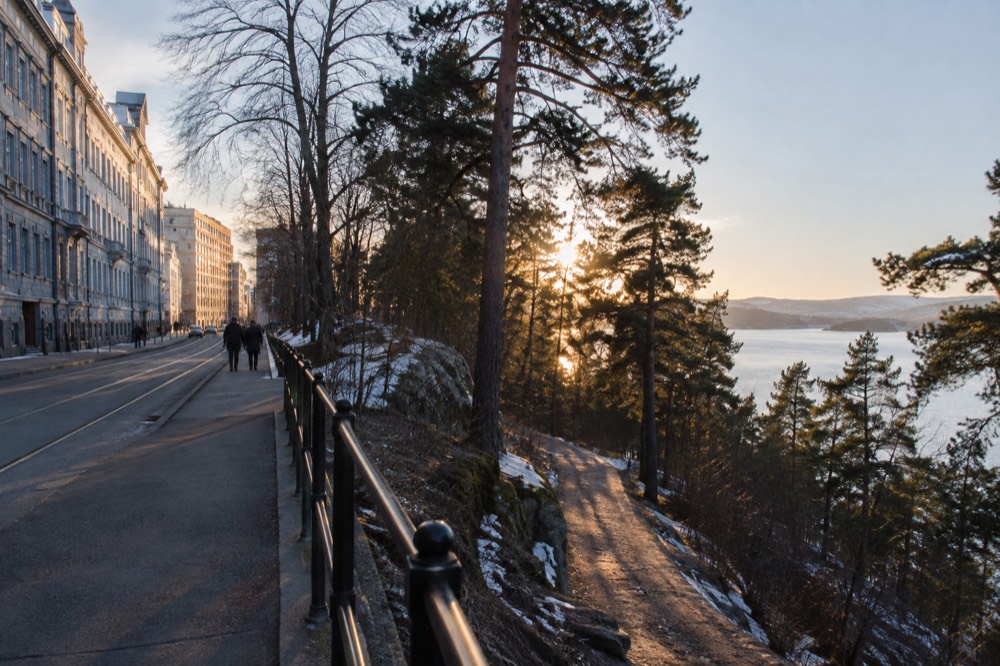
Nordmarka is the reason the phrase "oslo hiking" means something specific. The forest is not a park at the edge of town; it is a working, protected landscape that the city has grown up against, and the trailheads sit inside ordinary fare zones. In summer the lakes fill with swimmers and the trails with families; in winter the same paths become groomed ski tracks. The whole system is maintained by Skiforeningen, the ski association, which publishes live trail and snow-depth reports on its own site, a genuinely useful resource in the snow months.
The variety surprises people who expect one forest to mean one experience. There are lakeside loops flat enough for a stroller, forest roads you can run for an hour without a junction, and proper hill routes where you climb out of the treeline noise and hear nothing but wind. The fjord adds a second dimension: several trails end at, or look down on, the water, which is why the fjord-view hikes are among the most-booked outdoor products in the city. If you want the broader picture of the region's walking routes, our hiking trails near Oslo overview maps the options that start inside the city against the bigger mountain trips further out.
What Are the Best Hikes in and Around Oslo?
The best-known walks are the lakes at Sognsvann, the Ullevålseter route through Nordmarka's heart, the climb from Frognerseteren toward Vettakollen's viewpoints, and the island loops of Hovedøya and Langøyene, and all of them are free to walk with no permit, no fee and no booking. Sognsvann is the classic first hike: a flat, roughly 3-kilometer loop around a lake at the end of a metro line, with swimming spots off the rocks in summer. Frognerseteren, the terminus of metro Line 1, drops you at altitude so most of your walking is downhill, with views over the city and the fjord within the first twenty minutes. The island walks are the easiest hiking in Oslo in every sense: the ferry ride is short, the terrain is gentle, and Hovedøya's ruined Cistercian abbey gives the walk a destination.
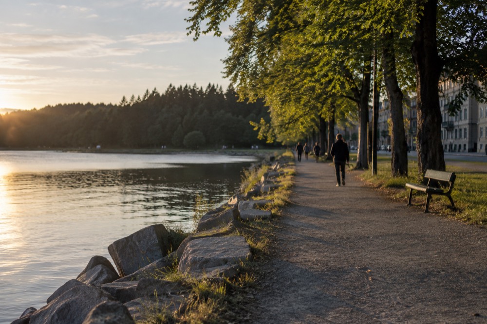
Choosing between them is mostly a question of time and season. A half-day hiker staying central should head for Frognerseteren and walk down; a family with small children belongs at Sognsvann; anyone wanting solitude with a swimming stop should take the B2 ferry to Langøyene, the island known for its beaches, in the summer timetable. In winter the calculus changes completely, and the forest products, a torchlit campfire walk or guided snowshoeing, become the honest way into the trees. The table below matches the route to the situation.
| Route | Reach it by | Character | Best season |
|---|---|---|---|
| Sognsvann lake loop | T-bane to Sognsvann | Flat lakeside path, swimming rocks | May to September |
| Frognerseteren descent | T-bane Line 1 to Frognerseteren | Downhill forest walk with fjord views | Year-round, snow in winter |
| Hovedøya abbey loop | Ruter ferry B1 from Aker brygge | Short coastal walk, ruins, 15-minute crossing | April to October |
| Langøyene beaches | Ruter ferry B2 from Aker brygge | Beaches and swimming, seasonal ferry | July and August |
| Ullevålseter forest route | T-bane to Sognsvann, then north | Long forest track, cabin stop | June to October |
Two practical notes carry real weight. First, the island ferries are ordinary Ruter services: a normal ticket covers them, with no surcharge, and the B2 to Langøyene runs in the summer timetable only, roughly July through August. Second, the Bygdøy ferry is a different system entirely, private and seasonal, and irrelevant to hiking anyway; the island ferries from Aker brygge are the ones that matter here. Our guide to the Oslo islands covers the ferry lines and their seasons in full.
If you would rather have someone else handle the route and the timing, three guided products stand out, and they cover three genuinely different experiences: a fjord-view hike with a cooked waffle stop, a torchlit winter forest walk with a campfire, and a packraft or kayak trip down the Akerselva through the city itself.
The fjord-view hike is the one to book if you want the classic Oslo outdoor experience in one morning: a guided forest walk to a viewpoint over the Oslofjord, ending at a chef-cooked Norwegian waffle stop. The listing carries a perfect rating across more than two hundred reviews, which is rare for any product in this city. The torchlit walk is the winter counterpart, a three-and-a-half-hour evening route through the forest by headlamp and torchlight, finishing around a campfire. And the Akerselva trip is the outlier: paddling an inflatable packraft or kayak down the river that runs through the middle of Oslo, an urban-nature product that does not really exist anywhere else.
Are Guided Hiking Tours in Oslo Worth It?
A guided hike is worth booking in three situations: in the dark winter months when you want the torchlit forest experience, when you want a meal or a format the trail cannot provide on its own, and when you are traveling alone and prefer a group, and the strongest single product is the fjord-view hike with the waffle stop, rated a perfect score across 211 reviews. The honest counterpoint first: Oslo's trails are free, well marked and reachable by metro, so if your goal is simply to walk in the forest on a dry July afternoon, you do not need a guide, and no one on this site will tell you otherwise. The guided products earn their price by adding something the trail does not supply.
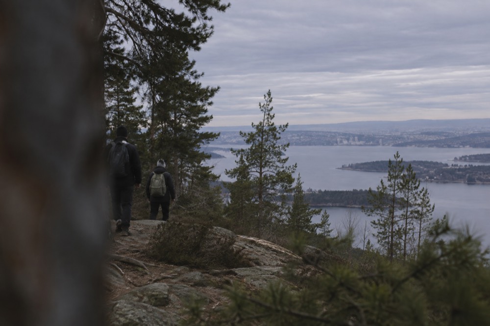
The fjord-view hike is the clearest case. It combines the route-finding with a chef-cooked waffle stop in the forest, a genuinely Norwegian institution, and it runs as a small-group product with a perfect rating across 211 reviews. The torchlit walk covers the season when the forest is genuinely hard to enjoy alone: from October to March the light is gone by late afternoon, and a guided evening route with a campfire turns that from a limitation into the point. The packraft trip down the Akerselva is a third thing entirely, a paddling adventure through the middle of the city that pairs the river valley walk with a section on the water.
Winter deserves its own mention, because the snow changes the equipment question. Guided snowshoeing in the Nordmarka forest runs as a three-and-a-half-hour product with a strong rating across nearly two hundred reviews, and it is the activity that makes an Oslo winter trip worth booking rather than merely tolerable. Snowshoes, headlamps and route knowledge in deep snow are exactly the things a visitor does not own and cannot improvise, which is where a guide stops being a convenience and becomes the difference between doing the thing and not doing it.
For readers planning a full winter city break, the seasonal picture, including the snow, the daylight and the indoor backups, is laid out in our Oslo in winter guide, and the ski-specific options, from the learn-to-ski half-day to the slopes at Oslo Vinterpark, are covered in skiing near Oslo.
How Do You Get to the Trailheads Without a Car?
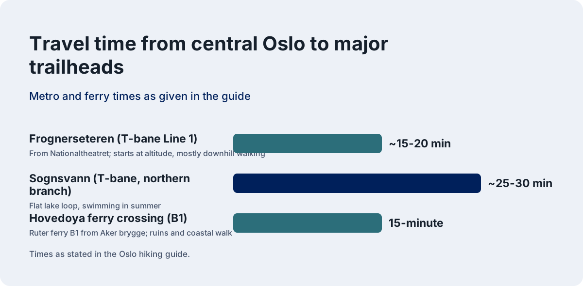
Every major Oslo trailhead is a public transport ride away: metro Line 1 ends at Frognerseteren inside the forest, the T-bane reaches Sognsvann and the other northern lakes, and the island ferries leave from Aker brygge on an ordinary Ruter ticket, with the whole network inside zone 1. This is the fact that makes Oslo hiking what it is. The metro network, the entire T-bane system, sits inside Ruter zone 1, so a single zone-1 ticket covers the ride from the city center to the edge of the forest. Line 1 to Frognerseteren takes roughly 15 to 20 minutes from Nationaltheatret and deposits you at altitude, surrounded by trees.
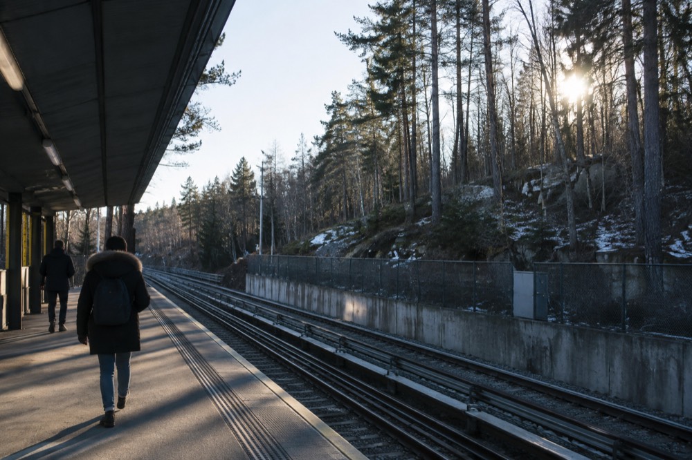
The ticketing is simpler than most visitors expect, with one trap. Ruter's own guidance is not to count zones by hand but to let the journey planner do it, and a single zone-1 ticket is valid for 60 minutes from activation, with 30 minutes added for each further zone. Buy in the Ruter app, which is the cheapest route; buying on board the bus or boat costs more. The trap is the airport: Gardermoen sits in zone 4N, not zone 1, so a forest-bound visitor arriving by plane needs the right coverage, and the Oslo Pass explicitly includes public transport in zones 1, 2, 3, 4V and 4N, including the Vy trains to and from the airport, but not Flytoget. Our Ruter tickets guide covers the fares and the app in detail.
| Trailhead | Line | From the center | Notes |
|---|---|---|---|
| Frognerseteren | T-bane Line 1 | ~15-20 min from Nationaltheatret | Starts at altitude, mostly downhill walking |
| Sognsvann | T-bane, northern branch | ~25-30 min | Flat lake loop, swimming in summer |
| Aker brygge piers | Ruter ferries B1, B1X, B2 | Short walk from City Hall | Islands; B2 summer timetable only |
| Oslo center | On foot | Start at your hotel | Akerselva river valley walk |
The river option deserves a line of its own because it needs no transport at all. The Akerselva runs from Maridalsvannet in the north down through Grünerløkka to the city center, and the path along it is a continuous green walk through waterfalls, old industrial buildings and parkland. It is the hiking you do in the evening after a day of museums, and it is the route the packraft product paddles. For the neighborhood context, our Grünerløkka area guide covers the stretch of the river that runs through it.
What Is the Best Season for Hiking in Oslo?
The core hiking season runs from late May to early October, when the trails are snow-free and the lakes are warm enough to swim in, but each month changes the experience: July gives 18-hour days and water temperatures of 15 to 20 degrees, while October brings autumn color and the first frosts, and winter swaps hiking for snowshoeing. The season is really governed by two things you can plan around: snow cover and daylight. The snow lingers in the forest into April in a cold year, and returns as early as late October. Between those bookends the trails are dry, the cabins are open and the swimming is real.
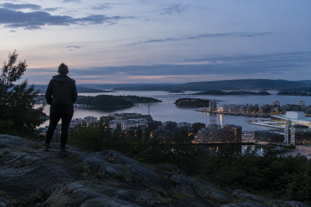
Daylight is the planning variable most visitors underestimate, and it swings harder than almost anywhere in southern Scandinavia. MET Norway's sunrise data for Oslo puts the winter solstice day at 5 hours 53 minutes of daylight, sunrise 09:18, sunset 15:11. By the summer solstice the same city gets 18 hours 50 minutes, sunrise 03:53, sunset 22:43, and the hours between are deep twilight rather than true night. There is no midnight sun here; Oslo sits at 59.91 degrees north, well south of the Arctic Circle, but in June it never gets properly dark either. Our Oslo daylight hours guide carries the full month-by-month table.
Temperature follows the same pattern. MET Norway's 1991-2020 normals for the Blindern station put July, the warmest month, at a mean of 17.7 degrees Celsius, with June at 15.3 and August at 16.5. April's mean of 6.2 is the first month that feels like hiking weather, and October's 6.6 is the last. One fact that inverts most visitors' expectations: August, not November, is Oslo's wettest month on the normals, at 103 millimeters of precipitation against November's 85. Pack rain gear for late summer. The full breakdown is in our Oslo weather by month guide.
| Month | Mean temp | Normal precip | Hiking reality |
|---|---|---|---|
| April | 6.2 °C | 48 mm | Snowmelt, muddy trails, waterfalls at full flow |
| May | 11.4 °C | 60 mm | First dry trails, birch light green |
| June | 15.3 °C | 80 mm | Long evenings, first swimming |
| July | 17.7 °C | 87 mm | Peak season, warmest lakes |
| August | 16.5 °C | 103 mm | Wettest month; rain gear essential |
| September | 12.2 °C | 82 mm | Best balance: mild, quiet, autumn starting |
| October | 6.6 °C | 93 mm | Autumn color, first frosts, shortening days |
September is the connoisseur's month: the normals put it at a mean of 12.2 degrees with 82 millimeters of rain, the crowds are gone, and the forest begins turning. If you are choosing a week rather than a season, the second half of September is the sweet spot for a city-and-trail trip.
What Should You Wear and Bring on an Oslo Hike?
Bring layers, real rain gear and water, and dress for the season's mean temperature plus the wind chill at altitude: a July hike at 17.7 degrees in the valley can be noticeably cooler on an exposed ridge, and an October forest walk can end in sleet even when the city center was dry. The Norwegian saying that there is no bad weather, only bad clothing is a genuine cultural fact and not a slogan, and it is the correct frame for a city whose mean temperature never leaves the range of minus 2.3 to 17.7 degrees across the year. The trails are close to the city, which cuts both ways: you can bail easily, but the weather can also turn faster than you expect once you are in the hills.
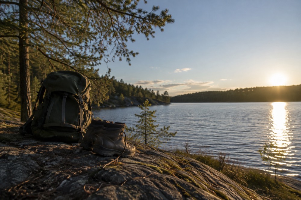
The essentials list is short because the terrain is not alpine. Waterproof walking shoes rather than boots are enough for the lakes and river routes; boots earn their weight on the longer Nordmarka routes. A windproof layer matters more than people expect, because the ridge trails above the treeline catch weather the city is not feeling. In winter the list changes completely: proper thermal layers, a headlamp rather than a phone torch, and either microspikes or snowshoes depending on the conditions, and Skiforeningen's live trail and snow reports are the honest way to check the latter before you set out.
Water needs a sentence of its own. Oslo's tap water is excellent, the mountain-source supply the city is known for, and the lakes of Nordmarka are the source of it; fill a bottle at the hotel and refill it at the trailhead cabins where they are open. Our Oslo tap water guide covers the details if you are the sort of reader who checks.
Can You Hike in Oslo in Winter?
Yes, but winter hiking in Oslo is really snowshoeing and torchlit walking: from November to March the forest is under snow, daylight shrinks to under six hours at the solstice, and the honest way into the trees is either the guided snowshoe product, the torchlit campfire walk, or the groomed ski tracks that replace the summer trails. The winter forest is not closed, it is transformed. Skiforeningen grooms an extensive network of ski tracks across Nordmarka, the same trails you walked in July become ski routes, and the walking options narrow to the plowed lakeside paths and the guided products that bring the equipment.
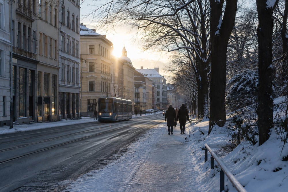
The two bookable winter products cover the season well. Guided snowshoeing runs three and a half hours in the Nordmarka forest with a rating of 4.8 across 191 reviews, and it is the activity that makes an Oslo winter trip worth booking rather than merely tolerable. The torchlit walk is the evening version: three and a half hours by torchlight through the forest, ending at a campfire, rated 4.7 across 280 reviews, and genuinely the product Oslo needs from October to March because the light is gone by mid-afternoon and the forest is not somewhere to navigate alone after dark.
For the full winter picture, including the ski options and the indoor backups for the days the weather wins, see Oslo in winter. The one thing not to plan for is the northern lights: Oslo sits well south of the auroral zone, an Oslo sighting needs a strong geomagnetic storm, a clear sky and a dark spot away from city light, a combination that comes round a handful of times a year, and no aurora tour from Oslo exists on any platform. Our northern lights in Oslo page takes that line honestly and points serious aurora hunters at Tromsø as a separate trip.
Is Oslo Hiking Suitable for Beginners and Families?
Yes, and it is one of the best beginner-hiking cities in Europe: the Sognsvann lake loop is flat, stroller-friendly and metro-served, the island walks are shorter than the ferry ride out, and the marked trail network means navigation is close to foolproof on the main routes. The barrier to entry is deliberately low. Norwegian friluftsliv, the open-air-life tradition, is a mass activity rather than a sport, and the trails are built for everyone from toddlers to grandparents. On any weekend the Sognsvann path is as full of families with sleds and picnics as it is of runners.
For families, the practical anchors are the lake loops and the islands. Sognsvann's circuit takes under an hour at a child's pace, with rocks to scramble on and water to throw things into. Hovedøya adds a ferry ride, an abbey ruin and swimming coves to a walk of similar length, and the crossing itself is a highlight for small children. Langøyene, with its beaches, is the summer day out. Our Oslo with kids guide builds these into full itineraries, and the climbing park day ticket is the outdoor product that fits the same family slot when the walking runs out.
| Family option | Effort | Ages | What sells it |
|---|---|---|---|
| Sognsvann loop | Very easy | All | Flat path, swimming, metro at both ends |
| Hovedøya walk | Easy | All | Ferry ride, abbey ruins, coves |
| Langøyene day | Easy | 5 and up | Beaches, picnic, summer ferry |
| Akerselva river walk | Easy, urban | All | Waterfalls, playgrounds, no transport needed |
Practical Tips Before You Set Out
Before any Oslo hike, check three things: the daylight window, the weather forecast, and whether the route you want is actually a walking trail that week, and all three are answerable in five minutes from official sources before you leave the hotel. Daylight first, because it is the constraint that changes most: a January hike has under six hours of it, a July one nearly nineteen, and planning the same start time in both months is how people end up finishing in the dark. Yr.no, MET Norway's own forecast service, is the standard here and is more reliable for the local hills than any international app.
The trail-condition question is a winter one. Skiforeningen publishes live trail and snow-depth reports for Nordmarka, which settle the snowshoes-versus-boots question definitively before you leave the hotel. In summer the equivalent check is swimming temperature if a lake stop is on the route; the municipalities publish bathing-water readings for the official spots, and the realistic July and August water temperatures in the Oslofjord and the lakes run 15 to 20 degrees Celsius, cool rather than warm, so a quick dip is a feature and a long swim is for the hardy.
A few closing specifics that save real mistakes. Distances are in kilometers on every sign, and the site's convention is metric because that is what the signs, timetables and maps actually use. There is no entrance fee, permit or registration for any trail in Nordmarka or on the islands. And the forest is a protected area: stick to marked paths, take your litter out, and treat the cabin culture, where huts sell coffee and waffles to walkers, as the institution it is rather than a tourist trap.
One final pointer: if this guide has you planning the whole trip around the trails, the planning resources live at Oslo Travel Guide, including the transport pages that make the trailheads reachable and the seasonal guides that tell you which forest you will actually find.
Common Questions About Hiking in Oslo
Can you hike in Oslo without a car?
Yes, easily. Every major trailhead is a public transport ride away: metro Line 1 ends at Frognerseteren in the forest, the T-bane reaches the northern lakes including Sognsvann, and the island ferries leave from Aker brygge on an ordinary Ruter ticket. The entire metro network sits inside zone 1.
What is the easiest hike in Oslo?
The Sognsvann lake loop: a flat, roughly 3-kilometer path around a lake at the end of a metro line, with swimming rocks in summer. The island walks, especially Hovedøya, are similarly gentle and add a short ferry crossing.
When is the best time of year for Oslo hiking?
Late May to early October for snow-free trails, with September as the sweet spot: a mean of 12.2 degrees, fewer people and the first autumn color. July gives the longest days, around 18 hours of daylight, and warm lake swimming.
Can you hike in Oslo in winter?
Yes, but it becomes snowshoeing and torchlit walking. The forest is under snow from roughly November to March, daylight shrinks to under six hours at the solstice, and guided products with equipment, like the snowshoe tour and the torchlit campfire walk, are the practical way in.
Are the hiking trails in Oslo free?
Yes. There is no entrance fee, permit or booking for any trail in Nordmarka, on the Oslofjord islands or along the Akerselva. You pay only the public transport ticket that gets you there.
What should I wear hiking in Oslo?
Layers, real rain gear and waterproof shoes. Dress for the season's mean temperature plus the wind chill at altitude, and remember August is the wettest month on the 1991-2020 normals at 103 millimeters of rain, so rain gear belongs in the pack even in summer.