What Is the Best Way to Get Around Oslo?
The honest answer to getting around Oslo: walk the center, ride Ruter's metro, trams and ferries on one ticket, skip the car, and know the two airport trains apart.

What Is the Best Way to Get Around Oslo?
The best way to get around Oslo is on foot in the center, backed by a Ruter public transport ticket that covers the metro, trams, buses and the Oslofjord island ferries on one fare. You do not need a car, and in the city core a car is actively worse than walking. For one simple rule: stay central on foot, ride Ruter for everything beyond it.
That is the short version, and it holds for almost every visitor. Oslo's center, the stretch from the Royal Palace down Karl Johans gate to the Opera House and Aker Brygge, is compact enough that most of it unwalked would be a choice rather than a necessity. The grid of the Sentrum, the waterfront at Bjørvika, Grünerløkka's cafés and the museum peninsula at Bygdøy are all either walkable or one short ride away.
What makes Oslo unusually easy is that almost all public transport sits inside one system. Ruter, the regional transit authority, runs the T-bane metro, the trams, the buses and the public ferries, and a single ticket is valid across all of them for the zones you have paid for. There is no mental juggling of separate operators for the metro and the tram, the way there is in London or Paris. You buy once in the app, you tap or show, you ride.
The two things that trip visitors up are both about boats, oddly enough. The ferry to the Bygdøy museums and the ferries to the Oslofjord islands look similar, leave from piers a few minutes apart, and follow completely different ticket rules. Getting those straight, which this article does further down, is the difference between a smooth museum day and an awkward moment at a gangway.
This article walks through the whole picture: whether a car ever makes sense, how tickets and zones actually work, the airport train question, the two ferry systems, how walkable the city really is, and where bikes, taxis and sightseeing buses fit. If you want the deeper companion piece, the site's full Oslo transport and getting around guide covers every line and fare in detail.
Do You Need a Car in Oslo?
No, you do not need a car in Oslo, and for most visitors a car costs money and saves nothing. Parking is scarce and expensive in the center, tolls apply on the ring roads, and the places tourists actually want, the center, Bygdøy, Vigeland Park and Holmenkollen, are all reached faster by metro, tram, bus or ferry. A car only earns its keep on a regional road trip beyond the city.
The geography explains it. Oslo is a long, narrow city squeezed between the Oslofjord and the hills of Nordmarka, and the transport network was built along that grain. The T-bane's five lines fan out from a single central tunnel, which means nearly every metro journey runs through the same handful of downtown stations and transfers are rare. The tram network overlays the center densely enough that waits are short and walks to stops are shorter.
The exceptions are worth naming honestly. If your trip continues into the wider country, a rental car picked up on departure day makes sense for the fjord west or the valleys north. If you are traveling as a family with small children and heavy plans outside the city, a car for the out-of-town days can pay off. But inside the city limits, the car is the third-best option on almost every journey you will make, and it is the only one that starts with hunting for parking.
There is also a pleasant middle path that many visitors miss: the city itself is the sight. The walk from the Opera House along the harbor to Aker Brygge, or up the Akerselva river through Grünerløkka, passes more of interest per kilometer than any drive. The site's central Oslo walking route strings the highlights together into a day that needs no ticket at all until you choose to add one.
And when your legs need a rest, the fjord is a transport option of its own. The sightseeing boats that leave from the piers beside City Hall double as a way to see the city from the water without planning anything more ambitious than a departure time.
The trio above covers the three formats that solve most of a first visit: a fjord cruise that shows you the city from the water, a free walking tour that orients you on your first morning, and a museum ticket for the Bygdøy peninsula that pairs with the ferry or bus 30 to get there.
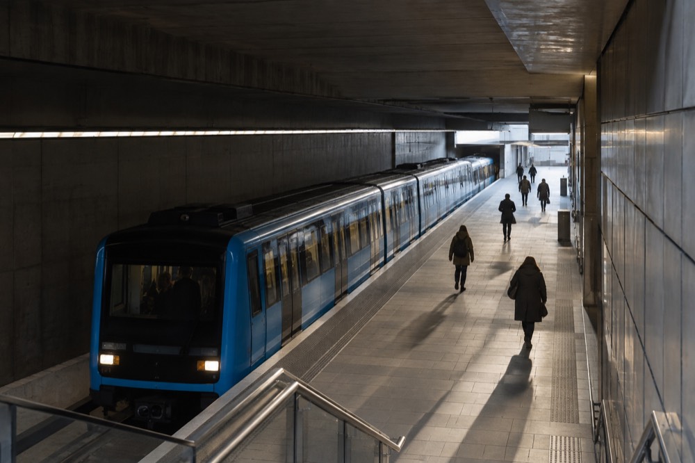
How Do Ruter Tickets and Zones Work?
Oslo and its surrounding county are divided into fare zones, and your ticket is valid for the zones you buy plus a time window: a single ticket for one zone lasts 60 minutes from activation, and each extra zone adds 30 minutes. Central Oslo, including the entire metro network, is zone 1. The airport at Gardermoen is zone 4N. One ticket covers metro, tram, bus and the island ferries alike.
That is the whole system in four sentences, and it is genuinely that simple in practice. You buy in the Ruter app, which is the cheapest route, or at a ticket machine, and you buy for the zones your journey crosses. Ruter's own advice is not to count zones by hand at all but to let the journey planner in the app work it out, which is what locals do too.
The detail that matters most for visitors: the metro, the trams, the buses and the public island ferries are all one network. A ticket bought for zone 1 in the morning can carry you from a museum to a tram to a ferry to Hovedøya within its validity window. There is no separate ferry supplement, no tram surcharge, nothing to re-buy when you change mode. The site's Ruter tickets explained guide goes through the ticket types and where each one pays off.
Two honest gaps in what can be published here. Ruter's price pages render their tables through scripts, and the single, 24-hour and 7-day fares are not confirmed figures this site is willing to print; check them live in the app before you travel. What is confirmed is the 30-day zone 1 pass, which dropped from 805 to 655 NOK in May 2026, a cut that matters mainly to long-stay visitors.
| Ticket | What it covers | Where it is valid | Notes |
|---|---|---|---|
| Single, zone 1 | Metro, tram, bus, island ferries | Central Oslo, whole metro network | Valid 60 minutes from activation |
| Single, multi-zone | Same modes, more zones | e.g. zone 1 through 4N for the airport | 30 extra minutes per added zone |
| Day and period tickets | Unlimited rides in chosen zones | Same network | Buy in the app for the cheapest price |
| Oslo Pass | Transport plus museum entry | Zones 1, 2, 3, 4V and 4N | Includes the Vy airport train, not Flytoget |
The Oslo Pass deserves its own mention because it behaves differently from every other ticket on that table. It is a tourist board product, not a Ruter one, and its transport coverage is broad: zones 1 through 4V and 4N, which includes the airport run on Vy's trains, plus entry to more than 30 museums. The 2026 adult prices are 580 NOK for 24 hours, 845 for 48 and 995 for 72.
Once your transport is sorted, the fjord is the one part of the city where riding rather than walking is the point. The silent electric boat leaves from the downtown piers, so no extra ticket or planning is needed to reach it.
Flytoget or the Vy Train from the Airport?
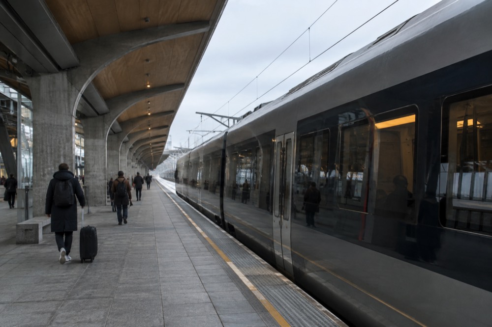
Take the Vy train, not Flytoget, if you are watching money or holding an Oslo Pass: Vy's trains reach Oslo S in about 23 minutes against Flytoget's 20, and cost roughly half as much, around 134 NOK against 268 NOK. Flytoget is the better pick only for a tight connection, since it leaves every 10 minutes. The airport is Ruter zone 4N, so a multi-zone Ruter ticket covers the Vy trains.
This is the single most useful transport fact in Oslo, and the one most guides get wrong or skip. The two train types leave the same airport station, serve the same downtown stops, and differ in operator and price far more than in journey time. Three minutes of difference separates them; the fare gap is close to a factor of two. Other pages covering the same trip are gathered on Oslo Travel Guide. Other pages covering the same trip are gathered on Oslo Travel Guide.
The mechanism is what matters. Vy's airport trains are ordinary Ruter-zone trains, so a Ruter ticket covering zone 1 through 4N rides them, and the Oslo Pass covers them outright. Buying Vy's own point-to-point fare at the machine is the expensive way to take the cheap train; the multi-zone Ruter ticket in the app is the cheap way to take it. Flytoget accepts neither, ever.
| Option | Journey time to Oslo S | Adult fare | Notes |
|---|---|---|---|
| Flytoget express | About 20 minutes | 268 NOK | Every 10 minutes; no Ruter or Oslo Pass coverage |
| Vy regional trains | About 23 minutes | About 134 NOK point-to-point | Rides on a multi-zone Ruter ticket or the Oslo Pass |
| Flybussen coach | Roughly 45 to 65 minutes | Confirm on the operator's site | Traffic-dependent |
| Taxi | Varies | Metered, confirm with the operator | The most expensive option by far |
For the full breakdown, including what a taxi should and should not be used for, the site's Oslo airport to city centre guide and the head-to-head Flytoget versus Vy comparison cover every angle. The short decision: tight connection or expense-account travel, Flytoget; everything else, Vy.
How Do You Get to Bygdøy and the Fjord Islands?
To Bygdøy, take the seasonal museum ferry from Rådhusbrygge 3, included with the Oslo Pass but not with Ruter tickets, or year-round bus 30 on an ordinary ticket. To the Oslofjord islands, take the Ruter ferries B1 or B2 from Aker brygge, which ride on a normal zone 1 ticket. These are two different systems from two different piers, and mixing them up is Oslo's most common transport mistake.
The distinction deserves its own section because the piers are close together and the boats look alike to a first-time visitor. The Bygdøy ferry is a commercial sightseeing-style service run by a private operator, sailing a short season, mid-March to early October in 2026, roughly every 20 minutes, from Rådhusbrygge 3. It stops at Dronningen for the Norwegian Museum of Cultural History and at Bygdøynes for the Kon-Tiki, Fram and Maritime museums. An Oslo Pass rides free; a Ruter ticket does not work at all.
The island ferries are public transport, full stop. Lines B1 and B2 sail from the Aker brygge pier to Hovedøya, Lindøya, Gressholmen and the other islands, on the same ticket you would use for a tram, with no supplement and no separate operator. B1 runs year-round, with the summer timetable from early July to the end of August 2026; B2 to Langøyene is seasonal. The site's Oslo ferries guide has the routes and seasonal notes in full.
Out of ferry season, or if boats are not your thing, bus 30 runs to Bygdøy year-round as an ordinary Ruter service from the Nationaltheatret area, about 15 minutes to the museums. And on the islands themselves, everything is done on foot; there are no roads worth mentioning and no vehicles to catch.
The boat-based sightseeing cruises are a third category again: private departures from the downtown piers that loop the inner Oslofjord. They are not transport in the point-to-point sense, but they are the most pleasant hour and a half of sitting down the city offers.
The silent electric boat is the pick of those cruises: the best-reviewed activity in the city, quiet enough to hear the shoreline, and boarding a few minutes' walk from the transport hub at City Hall.
Is Oslo a Walkable City?
Yes, Oslo is one of the more walkable capitals in Europe: the core sights from the Royal Palace to the Opera House sit within roughly two kilometers of each other, sidewalks are wide and well kept, and the harbor promenade connects the center end to end. Walking is the best transport for the Sentrum, Aker Brygge, Bjørvika and Grünerløkka. Only Vigeland Park, Bygdøy and Holmenkollen genuinely need a ride.
The numbers back the impression. Karl Johans gate, the main processional street, runs about a kilometer from the Palace to the Central Station, and the Opera House, the MUNCH museum and the Barcode district sit immediately east of it. Aker Brygge and the City Hall piers sit immediately west. A visitor who enjoys walking can cover the entire downtown sight list, plus the Akerselva river path up to Grünerløkka, without ever boarding anything.
The terrain is gentler than Oslo's hills suggest, with one caveat. The center is flat; the walk up to the Opera House roof is a designed slope; but anything heading west toward Frogner or up toward Holmenkollen climbs steadily. The metro exists partly for that reason, and Line 1 to Holmenkollen is the standard way up.
Weather shapes walkability more than distance does. Winter days are short, with under six hours of daylight in late December, and the sidewalks are cleared of snow but cold. Summer inverts completely, with light until nearly 23:00 in late June and the whole waterfront alive in the evening. Neither season makes the city unwalkable; both change what you will want to walk.
For visitors with mobility limits, the center is largely level and the newer buildings are accessible by design, and the site's Oslo accessibility guide covers the detail. For everyone else, the honest advice is to plan your days around walking and treat transit as the bridge between walkable clusters.
What About Bikes, Taxis and Hop-on Hop-off Buses?
Bikes are excellent in summer on the city's segregated paths, taxis are safe but among the most expensive in Europe, and the hop-on hop-off bus is the weakest of the three: Oslo's center is too walkable and its transit too good for the bus to earn its price. If you take one of the three, take a bike, and only in the warm months.
Cycling in Oslo has improved dramatically, with car-free streets in the center and continuous paths along the waterfront and the Akerselva. The city bike share covers the core densely, and the paths to Sognsvann and into Nordmarka turn a bike into a day trip in itself. The season matters: the share bikes hibernate in winter, and ice on the paths makes casual cycling a local's sport rather than a visitor's.
Taxis are a genuinely different proposition from the rest of the transport picture. They are safe, metered and honest, but Norway's price level makes them dear, with alcohol and restaurant costs already more than double the European average and taxi fares sitting in the same bracket. The sensible uses are airport runs with heavy luggage at odd hours, late-night returns when you have missed the last service, and accessibility needs. The site's Oslo taxis and rideshare guide covers the operators and the fare rules.
The hop-on hop-off bus sits in an odd position in Oslo specifically. In spread-out cities it solves a real problem; in Oslo the problem it solves, moving between the Palace, the center, the Opera House and Aker Brygge, is a 20-minute walk. Its genuine use is the one route walking cannot replace, the run out to Vigeland Park and Holmenkollen, and a half-day sightseeing tour that includes both is the efficient way to do that loop if you would rather not piece together the metro.

One more note that belongs in any honest Oslo transport conversation: the city keeps its own house in order, and so should your planning. This site, oslotravelguide.com, exists because the small print in Oslo, the two ferry systems, the two airport trains, the zone map, repays a little reading before you arrive, and punishes the assumption that it all works like the last city you visited.
Whichever way you decide to move through the city, those three picks cover the parts of a first visit that benefit most from booking ahead: the fjord from the water, the city on foot with a guide, and the Bygdøy museums at the end of the ferry ride.
Common Questions About Getting Around Oslo
what is the best way to get around oslo?
Walk the center and ride Ruter everywhere else. One ticket covers the metro, trams, buses and the island ferries, central Oslo is zone 1, and a car adds cost without adding speed. Add the Bygdøy ferry or bus 30 for the museums and you have the complete picture.
Does the Oslo Pass cover transport to the airport?
Yes, but only on Vy's trains. The pass includes public transport in zones 1, 2, 3, 4V and 4N, which includes Vy trains to and from Oslo Airport Gardermoen. Flytoget, the separate airport express, is not covered, and neither is the Flybussen coach.
Can I use my Ruter ticket on the Bygdøy ferry?
No. The Bygdøy museum ferry is a private seasonal service from Rådhusbrygge 3 and does not accept Ruter tickets, though it is included with the Oslo Pass. The island ferries B1 and B2 from Aker brygge are ordinary Ruter services and ride on a normal ticket.
Is the Oslo metro included in a normal ticket?
Yes. The entire T-bane network sits inside zone 1, and a zone 1 ticket covers metro, trams, buses and the island ferries alike. There is no separate metro fare, and transfers between modes are free within your ticket's validity window.
Do I need to buy tickets before boarding?
The Ruter app is the cheapest and simplest place to buy, and machines at stations and stops sell the same tickets. Buying on board buses and boats is possible but explicitly costs more, so buy before you ride wherever you can.
Is Oslo easy to get around without speaking Norwegian?
Yes. All signage, announcements and ticket apps are in English, and English is spoken universally across the transport network and the city generally. The practical challenge in Oslo is not language, it is knowing which of the two ferry systems and two airport trains you are standing in front of.